High-Accuracy Building Documentation & Digital Modeling
Scan-to-BIM Servies with NavVis VLX 3
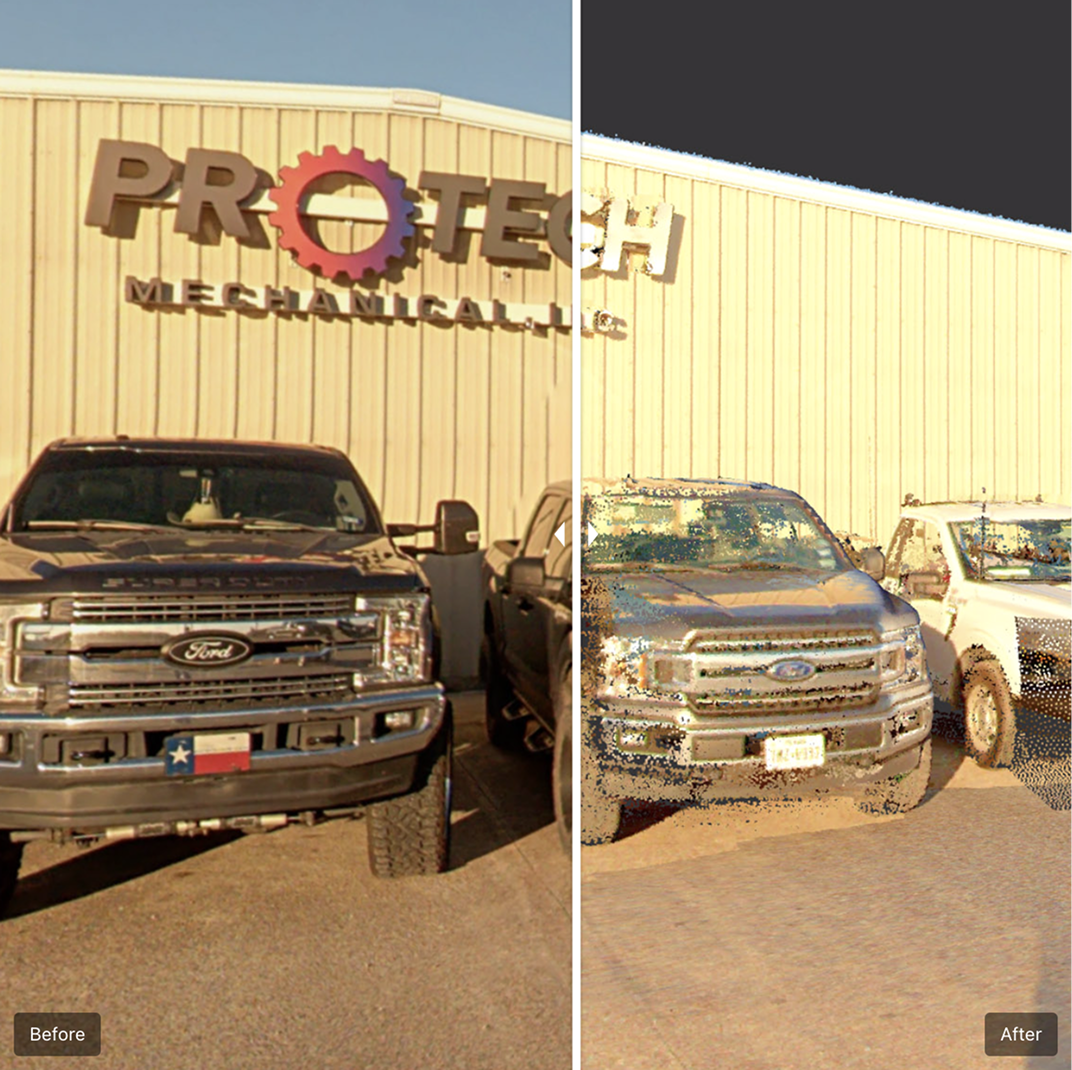
We use the NavVis VLX 3, a state-of-the-art mobile 3D scanner, to deliver high-accuracy laser scanning and digital capture of existing conditions. With SLAM (Simultaneous Localization and Mapping) technology, we produce fast, reliable data to support every phase of your project.
GET A QUOTE
Benefits of NavVis VLX 3 Scanning
Advances in construction technology have transformed project delivery. By incorporating laser scanning into your VDC workflow, you gain:
Time-Saving: Reduce field time and rework with accurate existing conditions data.
Cost-Saving: Minimize labor and material waste with informed planning.
Quality: Improve project outcomes through high-resolution, conflict-free designs.
Speed: Fast scan-to-model turnaround with immediate access to spatial data.
What We Offer
3D Laser Scanning
Rapid, detailed capture of building interiors and complex spaces.
360° Photo Documentation
Visual records for reference, verification, and remote collaboration.
SLAM-Based Mapping
Mobile scanning that works in tight, dynamic environments.
Digital Models & BIM-Ready Files
Create precise models that support both pre-construction planning and active construction management.
Our Scan-to-BIM Process

Site Capture
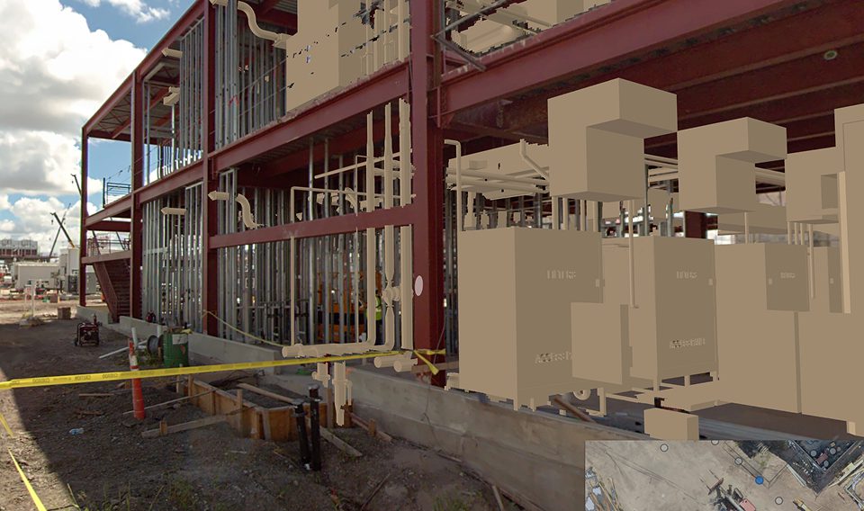
Using NavVis VLX3, we quickly scan the entire site to create a detailed digital representation.
Data Processing
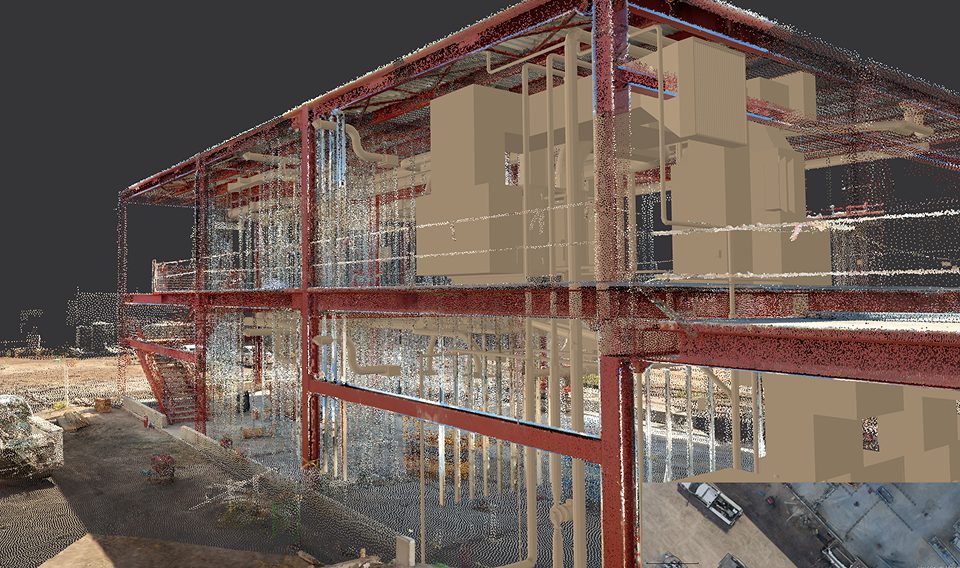
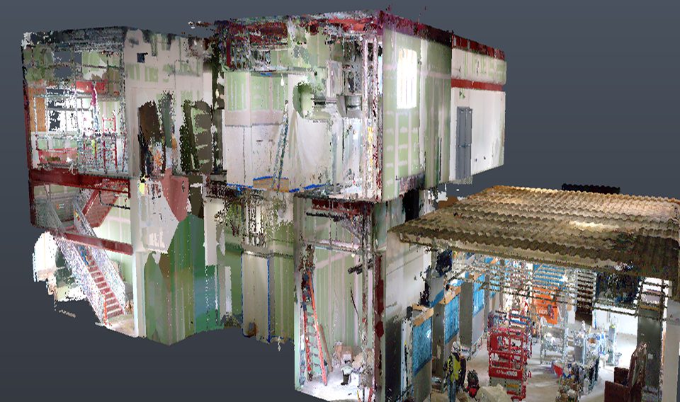
Generate point clouds, panoramic visuals, and structured information.
Data Processing
Generate point clouds, panoramic visuals, and structured information.
Our Scan-to-BIM services are ideal for:
Professionals
- Architects & Engineers
- General Contractors
- MEP Trades
- Developers
- Facility Managers
Applications
- Pre-construction planning
- Construction coordination
- Existing condition modeling
- MEP verification
- As-built documentation
- Facility asset management
Trimble Positioning Systems

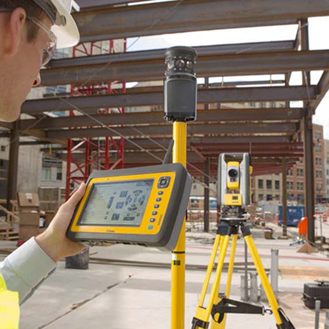
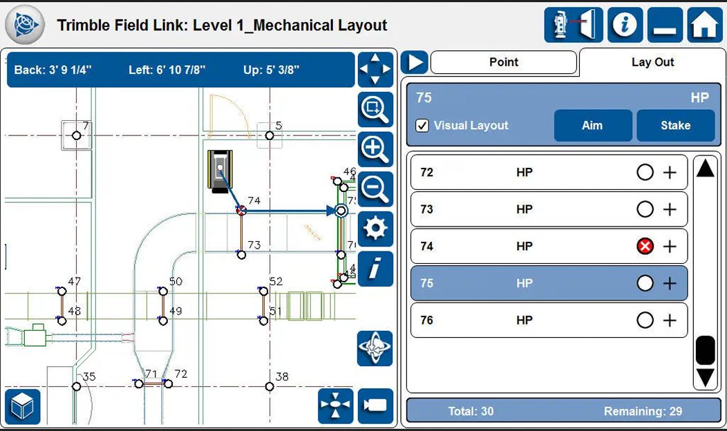
Trimble positioning systems deliver increased accuracy and efficiency, enabling smarter decision-making, reduced errors, and faster project completion. By providing real-time, shared data, these systems enhance communication and connectivity across the entire project team—from the field to the office—through seamless wireless syncing. They also boost safety and productivity by improving site awareness for operators, minimizing rework with precise measurements, and streamlining workflows for optimal performance.
Get Started
Ready to see how NavVis VLX 2 scanning can accelerate your next project? Let’s talk.